This trans-disciplinary conference and exhibition investigates how images made on the vertical axis are encountered, interpreted, decoded, created and utilised. It explores the ways in which they have changed, or could change, the world.
You put together two things that have not been put together before. And the world is changed. People may not notice at the time, but that doesn’t matter. The world has been changed nonetheless.
Julian Barnes, Levels of Life
As discussed in Barnes’ book, when the French photographer Gaspard-Félix Tournachon, known as Nadar, put his two passions — hot air ballooning and photography — together in the 1850s, the first aerial picture of the earth came into view. Since then, the perpetual quest to reach further heights and greater distances has fuelled the human imagination and generated architectural, aeronautical and optical innovations that have radically altered human perception.
160 years on and the aerial view is ubiquitous. Photography has expanded so that moving and still images from above are created by a wide range of increasingly autonomous machines, and many of our actions on the surface of the earth are controlled by, and intentionally designed to be seen from, this perspective. At the same time, the ability to look further down the vertical axis, to microscopic levels, has been extended through developments in areas such as microscopy and spectrometry.
Info
This conference and exhibition is organised by Daniel Alexander and Sara Knelman and is a collaboration with the Photography Programme at London College of Communication, The Photographers’ Gallery, and The Centre for the Study of the Networked Image at London South Bank University.
This event will take place at The Photographers Gallery on Thursday 30 June and the London College of Communication on Friday 1 and Saturday 2 July 2022. The exhibition is installed at the London College of Communication.
Thursday 30 June
10:00 – 18:00 (conference)
The Photographers’ Gallery
16-18 Ramillies St, London W1F 7LW
Friday 1 July
10:00 – 16:00 (conference & exhibition)
16:00 – 18:30 (drinks reception)
London College of Communication
Elephant and Castle, London SE1 6SB
Saturday 2 July
10:00 – 17:00 (conference and exhibition)
London College of Communication
Elephant and Castle, London SE1 6SB
Keynotes
Stephen Graham: The vertical gaze and the vertical ‘turn’ in understandings of place: An exploration
What does it mean to be above or below in today’s rapidly urbanising world? As humans excavate deep into the earth, build ever higher into the skies, and saturate airspaces and inner orbits with a myriad of vehicles, sensors and platforms, how might we understand the remarkable verticalities of our world? Given the proliferation of digital and electronic prostheses through all these ‘levels of life’, how, indeed, might we understand the contested politics of vision, and ways of seeing, within such three-dimensional geographies? Taking a multi-layered perspective —ranging from the level of satellites, through aerial warfare, drones, helicopters, skyscrapers, tall buildings, the contested ground level, and even the urban subterranean — this talk will use the so-called vertical or volumetric ‘turn’ in the social sciences of cities and spatiality to address this question.
Heba Y. Amin & Anthony Downey: Aerial Prophecies: Digital Methodologies and the Practice of Research
Taking as a starting point their recent publication, The General’s Stork (Sternberg Press 2021), Heba Y. Amin and Anthony Downey’s talk will explore the legacies of colonial violence and the future of drone technologies. Focusing on models of artistic, academic and interdisciplinary research, the spectre of surveillance apparatuses, and the histories of cadastral photography, they will collaboratively examine the potential for developing digital methodologies to better understand how machine vision functions in our post-digital age.
Guest Speakers
Sasha Engelmann of Open-Weather: When I image the earth, I imagine another
On behalf of open-weather, Sasha Engelmann will speak about the artwork When I image the earth, I imagine another, a collective image of the earth and its weather systems created on the occasion of COP26 by a network of people operating DIY satellite ground stations around the world. The talk explores the role of an artistic, feminist framework in co-producing a polyperspectival (from many angles) image of earth and offer insight into the technical and collaborative process behind the work. Sasha will be joined by contributors from the wider open-weather network.
Sheung Yiu and Daniel Schraik: How To See Something When There Is Nothing (With a Remote Sensing Scientist)
Remote sensing researchers travel to forests and measure on-site to see better from space. Daniel Schraik and his colleagues conduct ground truth measurements to develop a reliable reflectance model for a better interpretation of forest satellite images. Remote sensing researchers use this model to look into how light enters the forest and reflects back to satellites, to retrieve information about the landscape beyond what is visible on the image. The presentation reflects on the collaboration between myself, a photographer, and remote sensing researchers from the Department of Geoinformatics at Aalto University in the ongoing artistic research Ground Truth. Together with Daniel Schraik, we examine hyperspectral imaging of forests while looking back at photography’s love affair with natural landscapes. Remote sensing observes the planet at different scales and dissects images into multiple data layers. The presentation touches on statistical models, computational photography and hyperspectral imaging to reveal remote sensing's technique of observation —a trans-scalar and statistical vision. As technology develops and the network infrastructure expands, the act of seeing is more abstract than ever.
Guest Screening and presentation
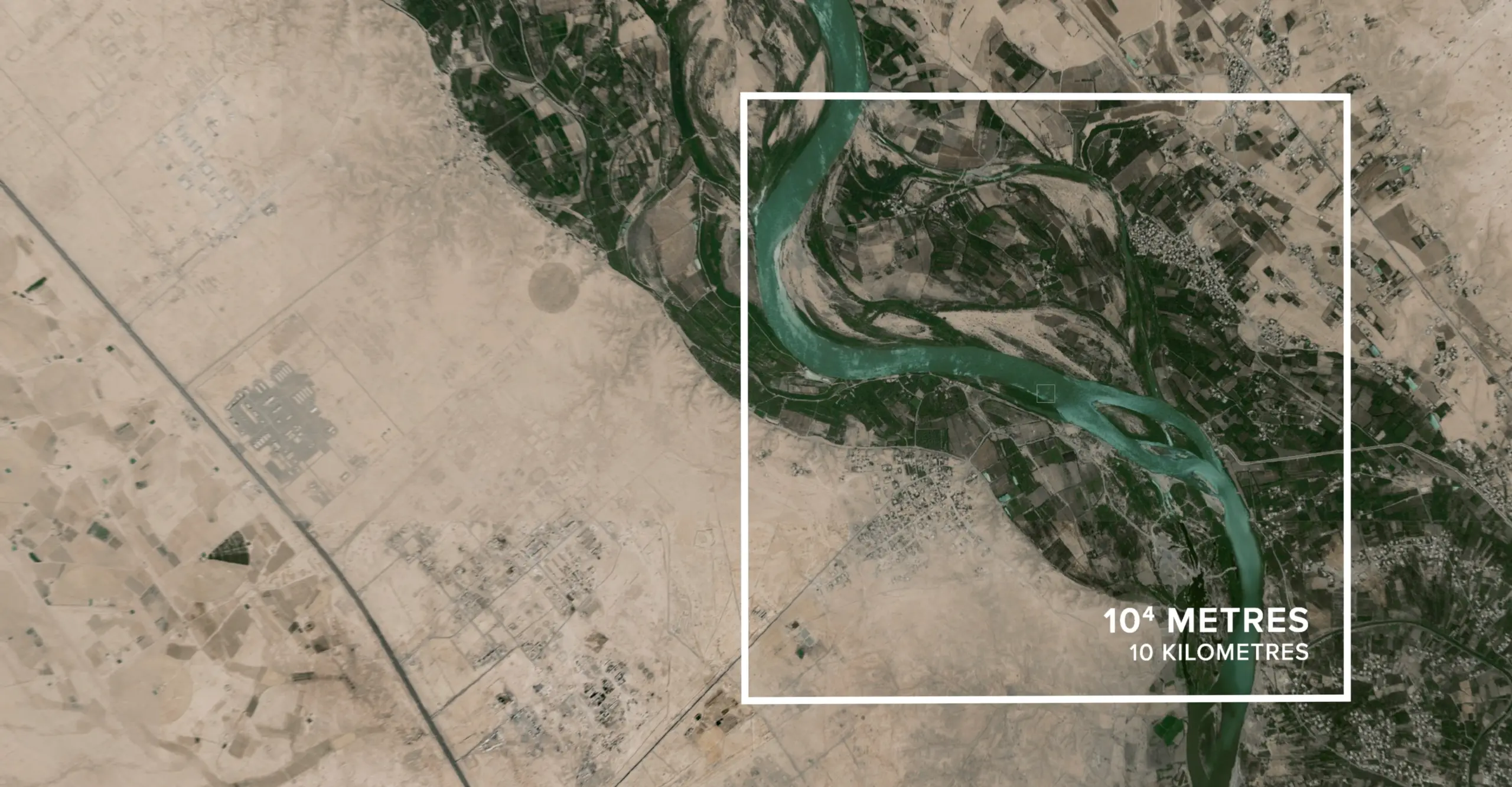
Jananne Al-Ani: Timelines
Timelines is a panoramic film which focuses on the surface of a highly decorated brass tray that was made in Iraq in the wake of the First world War and is now held in the V&A Collection. The tray is said to depict events on Armistice Day, 1918, in the Iraqi town of al-Hindiyyah. Two biplanes fly over the river Euphrates which cuts across the centre of the tray and crowds of highly stylised Arab men and women and British soldiers in uniform are shown from a bird’s eye view on either side of the river. Using ultra close-up photographs of the engraved surface of the tray and computer animation, the film transforms the flattened perspective of these scenes into a series of vast and varied landscapes. Alongside this visual journey, a distinctive voice emerges - the artist draws upon interviews with her mother, recalling personal experiences of growing up in Britain as the child of Irish immigrants and living in Iraq through intense social and political change.


